
 LAST PAGE
 RETURN TO INDEX

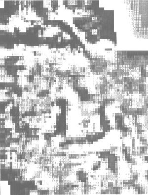
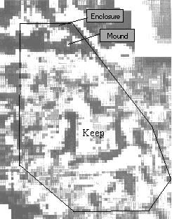
The advantage of processing smaller areas of data can be seen from the results shown above. Instead of the grey scale being washed out greater detail can be seen across the smaller area. This detail shows in particular along the left hand boundary but is not conclusive. A further wall may be hidden to the left of the Keep, but without expert interpretation I cannot be certain that it is not just a natural phenomena.
What is certain is that the Norman fort area holds many mysteries still to be revealed. The resistivity survey confirms ditches and buildings common to occupation by man in an area that has previously been devoid of any reported activity since the Domesday Book was written. The outer ditches confirm the probability that this was at some stage an Iron Age hill fort, which has subsequently been altered. The resistivity survey confirms the existence of the Roman tracks running across the site and under the perimeter walls. This indicates that the perimeter itself must have been built after the Roman occupation, confirming the probability that this is indeed the first Norman camp. Whilst the possibility exists that this might be Saxon I have little doubt that the absence of the normal circular features associated with Saxon towns of the period makes this highly unlikely.