
 LAST PAGE
 RETURN TO INDEX
A large image is available here
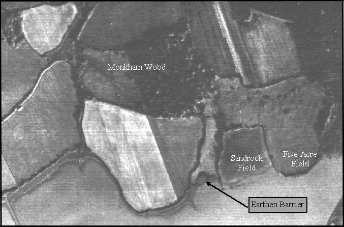
This photograph shows a much larger area of the landing site to the east of Sandrock field and south of Monkham Wood. This was taken in November 1960 in the very early morning, when the mist was still lying on the valley floor. The field contours are more pronounced in Five Acre Field to the right, where the Saxon defence was situated. Immediately to the north of this, in the field shown top right, a light grey streak reveals yet another Roman track, which has not shown on previous photographs. See plan in part 33.